Easy Upload
Batch API upload for large photogrammetry datasets with resumable transfers.

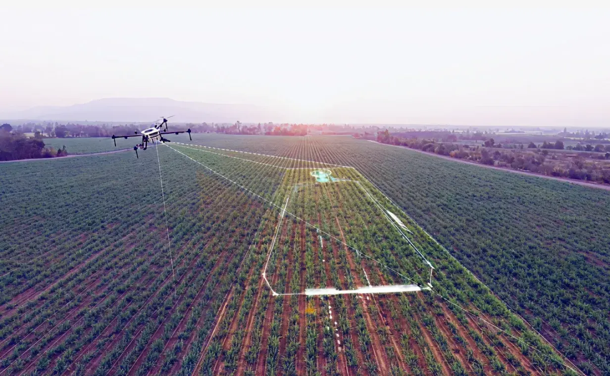
Scalable AWS-based photogrammetry for precision agriculture. Process multi-band drone data into actionable NDVI maps and 3D models with seamless FMIS integration.
4,812
Images Processed
0.74
Avg NDVI Score
Field Health
Platform Capabilities
Batch API upload for large photogrammetry datasets with resumable transfers.
Multi-band input with radiometric calibration for accurate NDVI outputs.
OAuth and JWT authentication with encrypted storage and tightly scoped access.
Native connectors for leading farm management information systems.
How It Works
Step 01
Push drone images via API or admin panel with metadata tagging and geo-referencing.
Step 02
Automated photogrammetry, 3D reconstruction, and multi-spectral band calibration.
Step 03
Download GeoTIFF outputs or push NDVI maps directly to your FMIS in real time.
Product Preview
The PhotoGear admin panel gives you a bird's-eye view of every field, every mission, and every data layer in one place.
Overview of system activity and performance
Total Datasets
127
+12 this month
Active Jobs
5
Across AWS workers
Completed Jobs
27
Today
Recent Activity
Dataset uploaded: Spring Field Survey
2 minutes ago
Job completed: #1432
5 minutes ago
Webhook delivered to Farm-B
12 minutes ago
Processing started: #1435
18 minutes ago
Dataset validated: Winter Crop Analysis
25 minutes ago
Quick Actions
Upload and manage drone imagery datasets
Monitor and manage photogrammetric processing pipelines
Manage processing strategies and service parameters
Active Services
System Health
Upload and manage drone imagery datasets
Processing Configuration
Configure processing parameters for the dataset
Selected Dataset:
Spring Field Survey
Lower values provide higher resolution output (typical range: 2-10 cm/px)
Radiometric Calibration
Enable radiometric calibration for accurate spectral measurements
Slide 01
High-level activity and quick actions.
Comparison Viewer
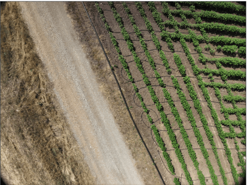
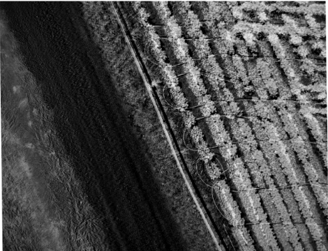
Drag the slider to compare raw aerial imagery against a fully processed NDVI vegetation index map. Identify stress zones, irrigation gaps, and pest pressure at 1 cm/px resolution.
4,812
Images Processed
0.74
Avg NDVI Score
Why PhotoGear
More credible than DroneDeploy. More accessible than Pix4D. Built for scale, not demos.
Elastic compute scales from 10 to 10,000 images without queue times or bottlenecks.
Every workflow is exposed as an endpoint so PhotoGear plugs into your existing stack.
Radiometric correction is validated against field-ready agricultural benchmarks.
Bring-your-own-cloud deployment keeps critical farm data under your control.
For pricing, licensing, and purchase inquiries, please contact our sales team.
Join forward-thinking agronomists and farm operators already using PhotoGear to turn raw drone data into precision decisions.
No credit card required · Setup in under 10 minutes